Informations
The Écrins National Park is one of the most spectacular jewels of France's natural heritage.
Created in 1973, it spans over 91,800 hectares of core protected area, with an additional 180,000 hectares in the surrounding buffer zone.
Straddling the departments of Hautes-Alpes and Isère, in the Provence-Alpes-Côte d’Azur and Auvergne-Rhône-Alpes regions, it protects one of the highest massifs of the French Alps, nestled between Grenoble, Briançon, and Gap.
The park takes its name from the Écrins massif, which it almost entirely encompasses.
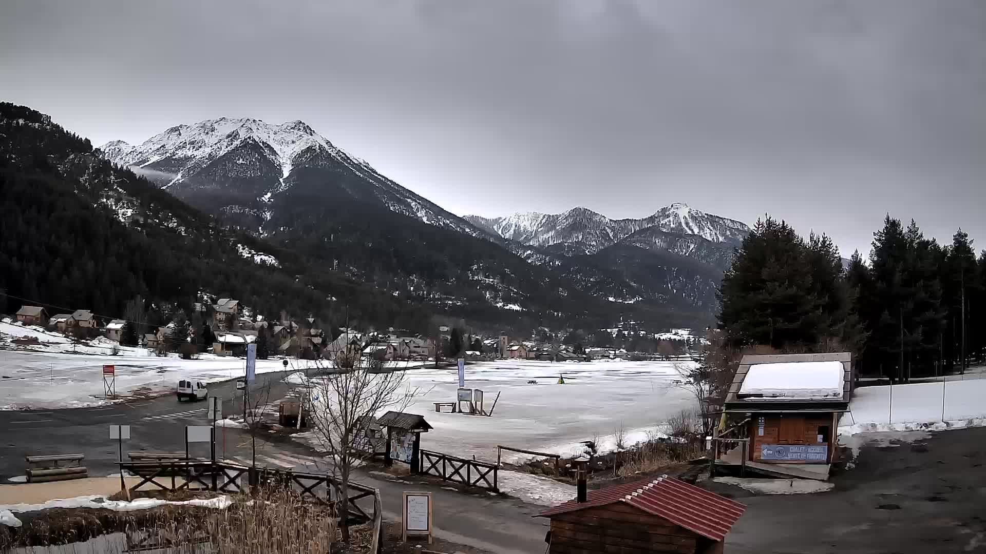
This alpine massif is famous for its dramatic topography: a world of high mountains with peaks rising above 4,000 meters, such as the Barre des Écrins (4,102 m), the park’s highest point, as well as La Meije, Le Pelvoux, L’Ailefroide, and the Dôme des Écrins.
There are over 150 peaks exceeding 3,000 meters and more than 40 glaciers, some of which—like the Glacier Blanc and Glacier Noir—are among the most iconic of the Southern Alps.
The Écrins National Park is a territory of exceptional ecological richness.
It is home to around 1,800 plant species—nearly a third of mainland France's flora—including many rare or endemic plants such as opposite-leaved saxifrage, alpine rock-jasmine, and edelweiss.
The fauna is equally remarkable: ibex, chamois, marmots, golden eagles, bearded vultures, black grouse, stoats, as well as numerous species of amphibians, insects, and bats.
The core of the park is subject to strict regulations, with no hunting or logging allowed, to ensure maximum preservation of its natural environments.
Human activities are limited, but hikers, climbers, scientists, and nature lovers are welcome—provided they respect the protection rules (no dogs, regulated bivouacking, no picking or disturbing wildlife).
The park is crossed by a vast network of trails, notably the GR54, also known as the "Tour of the Oisans and Écrins," one of the most challenging treks in France. It winds through emblematic valleys such as Vallouise, Vénéon, La Séveraisse, Champoléon, and Valjouffrey.
Thirty mountain refuges allow for multi-day hikes in safe and convivial conditions.
The park is also a lived-in territory, setting it apart from many other high-altitude nature reserves.
It includes nearly 60 partner municipalities in the buffer zone, surrounding the core area, where around 25,000 people live.
These mountain villages retain a strong cultural identity rooted in pastoralism, craftsmanship, water management, and a close connection to nature.
The landscape blends alpine pastures, larch forests, terraced farming, perched hamlets, and rushing mountain streams.
One of the strengths of Écrins National Park lies in its ability to balance conservation with local development.
Thanks to its charter, co-signed with participating municipalities, the park supports environmentally respectful projects: sustainable tourism, eco-renovation of traditional buildings, pastoral farming, soft mobility, and short local food circuits.
The park’s residents are not mere "neighbors," but key players in its management and promotion.
The park is also a major site for scientific research.
Numerous studies are conducted on climate change, glacier evolution, species migration, alpine biodiversity, and ecosystem resilience.
The Glacier Blanc, in particular, is one of the most closely monitored glaciers in the Alps for understanding glacial dynamics in the context of global change.
Finally, the Écrins National Park is an inexhaustible source of beauty and inspiration.
Each season reveals a different atmosphere: pristine whiteness and hushed silence in winter, lush blooms and roaring torrents in spring, green pastures and crystal-clear skies in summer, russet tones and mystical mists in autumn.
It is a place for deep reconnection—with nature, with slow time, with the majesty of the mountains.
It is not just a protected area: the Écrins National Park is a living, fragile, and powerful territory—a refuge for biodiversity, a high-altitude sanctuary, and a shared heritage to preserve for future generations.